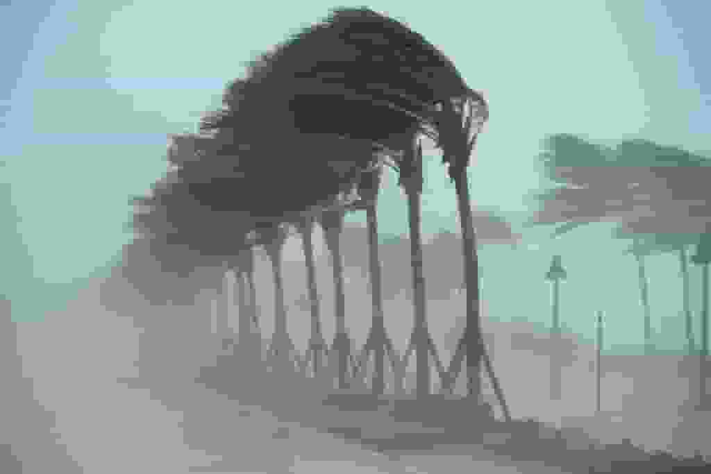
A derecho is frequently compared to an inland hurricane because of its powerful winds and destructive potential.
The central and southeastern regions of the United States are currently under the threat of severe weather that may result in the occurrence of a rare weather phenomenon known as a derecho.
Potential Derecho Threatens Central and Southeastern US
A widespread wind event known as a derecho takes its name from the Spanish word meaning direct or straight ahead. The National Oceanic and Atmospheric Administration confirms that a derecho has the potential to cause destruction similar to that of a tornado.
According to the National Weather Service, there is a possibility of severe storms on Thursday, particularly across Oklahoma, parts of northern Texas and southern Kansas, as well as southern Alabama, Georgia, and the Florida Panhandle. These fast-moving storms may bring hail, intense wind damage, and potentially tornadoes.
Due to its powerful winds, a derecho is frequently compared to an inland hurricane. The term derecho originates from the Spanish word meaning direct or straight ahead and was initially employed in 1888 by a chemist and professor of physical sciences, as stated by the National Weather Service.
Unlike a hurricane, a derecho does not have an eye, and its powerful winds travel in a straight line. This can result in extensive damage across a wide area, including both widespread destruction and pockets of severe damage.
For the National Weather Service to classify a storm as a derecho, it must have wind gusts of 57 mph or higher, and the resulting wind damage should span at least 400 miles.
Read more: Bank Of America’s $500 Million Equity Push: Empowering Minority- And Women-Led Funds
Rare and Powerful Storm Systems Explained

Ryan Maue, a former chief scientist for the National Oceanic and Atmospheric Administration and a private meteorologist based in Atlanta, explained that a derecho can form when multiple individual storms, often accompanied by hail and strong winds, merge together and grow into a larger bow-shaped complex.
The term bow is used to describe the shape of a derecho when observed on radar.
Once this consolidation takes place, the system becomes self-sustaining and continues to gather energy. According to Maue, this self-fueling nature allows the derecho to generate significant damage through its powerful straight-line winds.
Derechos are infrequent events, and in the United States, they have a higher likelihood of happening in the Corn Belt. This area extends from Minnesota and Iowa towards the south and east, encompassing the Ohio Valley, according to information provided by the National Weather Service.
Read more: US Urges Allies To Provide Strong Military Support For Ukraine Challenging Battle